 By admin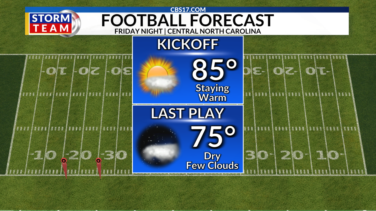
Summer-like heat will hang on across central North Carolina through today with highs climbing into the upper 80s to lower 90s. The pattern changes this weekend, however, as a cold front moves in bringing scattered rain Saturday and a much-needed round of widespread rain Sunday with up to 2″ of accumulating rain possible.
Behind the front, temperatures will drop sharply. Highs will fall into the upper 60s and 70s for much of next week, with overnight lows dipping into the 40s and 50s, leaving next week drier and very comfortable.
Looking beyond the next 10 days, this weekend’s pattern change could be the beginning of a broader shift away from the persistent summer heat and dryness. A more active pattern and increasing influence from the southern jet should bring opportunities for rain and cooler air across the Southeast through the fall. The overall pattern is trending wetter and cooler, although brief warm-ups will still be possible.


FORECAST
FRIDAY will be mostly sunny and even warmer. The high will be 90. Winds will be out of the southwest at 5 to 10 miles per hour.
Read more No drought improvement across central North Carolina after dry week
OVERNIGHT will be partly cloudy. The morning low will be 68. Winds will be light out of the south.
SATURDAY will be mostly cloudy. Showers are possible in the afternoon, with rain arriving overnight. The high will be 82. Wind will switch from the southwest to the northeast at 10 to 15 miles per hour.
Read more Durham charity helps feed food insecure