 By admin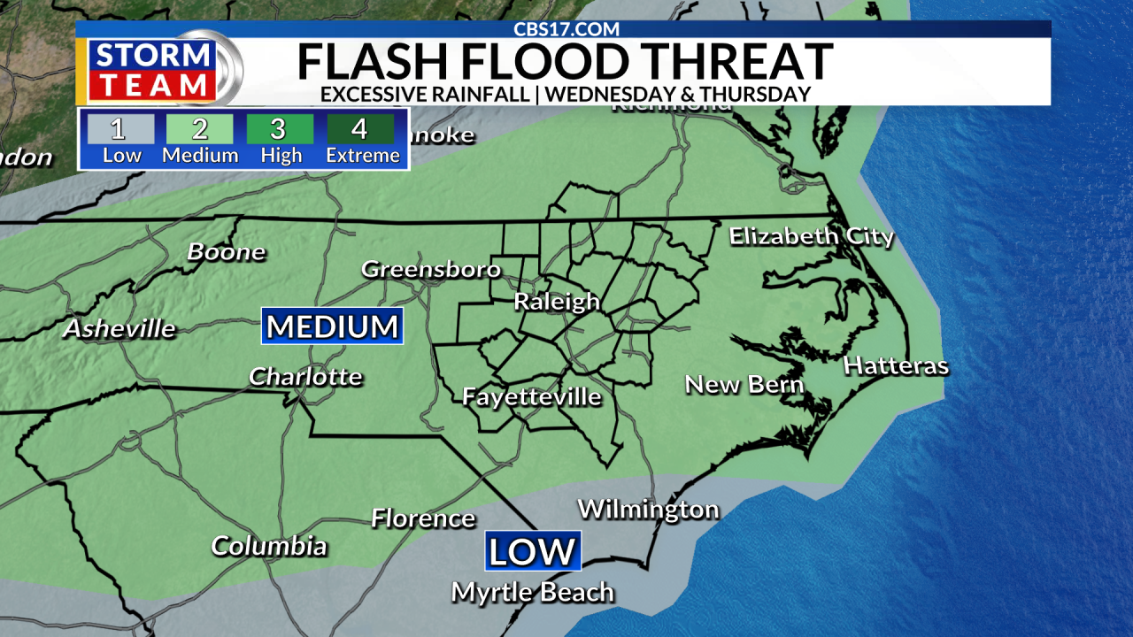
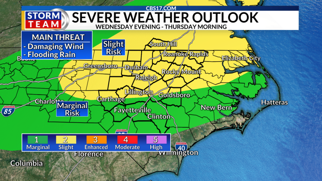
The CBS 17 Storm Team has issued an Alert Day from Wednesday night to Thursday morning as a cold front threatens to bring storms to the central North Carolina.
Read more World Cup final between Spain and Argentina watched by roughly 60 million on Fox and Telemundo
The Alert Day is expected to last from 4 p.m. on Wednesday to 10 a.m. on Thursday. We will have a slight risk of severe weather and a moderate risk of flooding.
The slow-moving cold front will start to slide through late in the day, creating a line of storms that have the potential for damaging wind gusts, even a brief spin-up tornado.
Read more Stephen Curry to have a dedicated exhibit at the Basketball Hall of Fame, a 1st for an active player
What will likely be the biggest impact will be the potential for flooding rain.
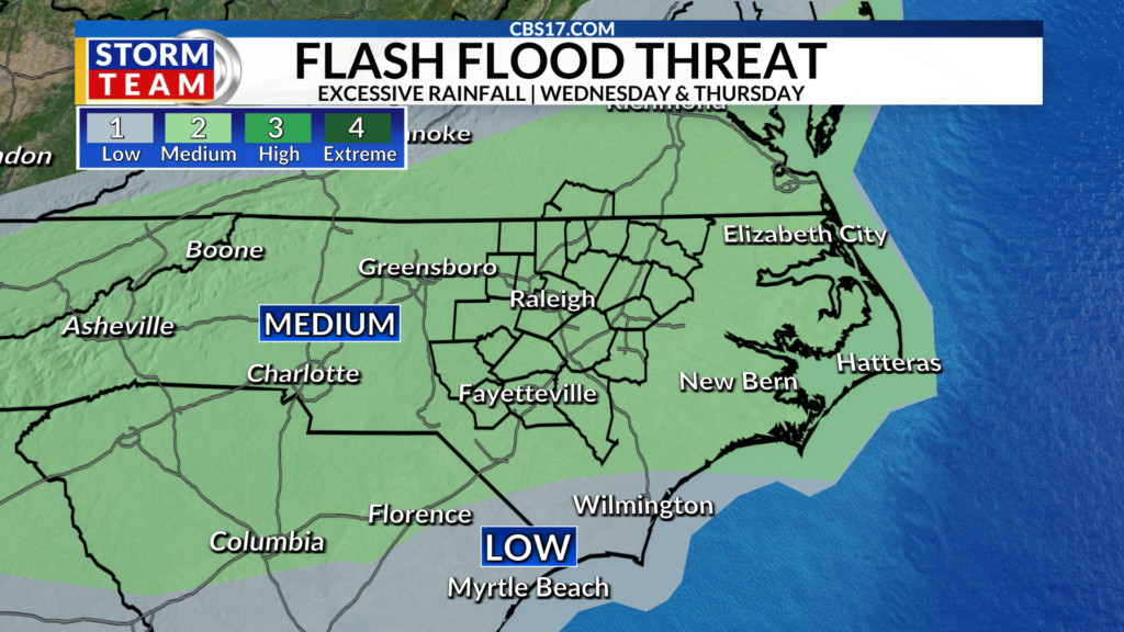
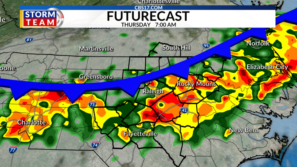
While we need the rain, this slow-moving front will likely set up a training rain event. This is when rain, particularly a line of heavy rain producing storms, falls over the same locations for an extended period of time, similar to train tracks.
The training rain event will lead to flash flooding on roads and areal flooding in low lying and flood-prone areas. Since some areas have already picked up decent rain, if the ground is saturated then the rain can’t absorb into the ground, making flooding potential even worse. Plus, even non-severe wind gusts can blow down limbs and trees on saturated ground.
Read more MLB players propose expanded draft eligibility in another sign of looming labor confrontation