 By admin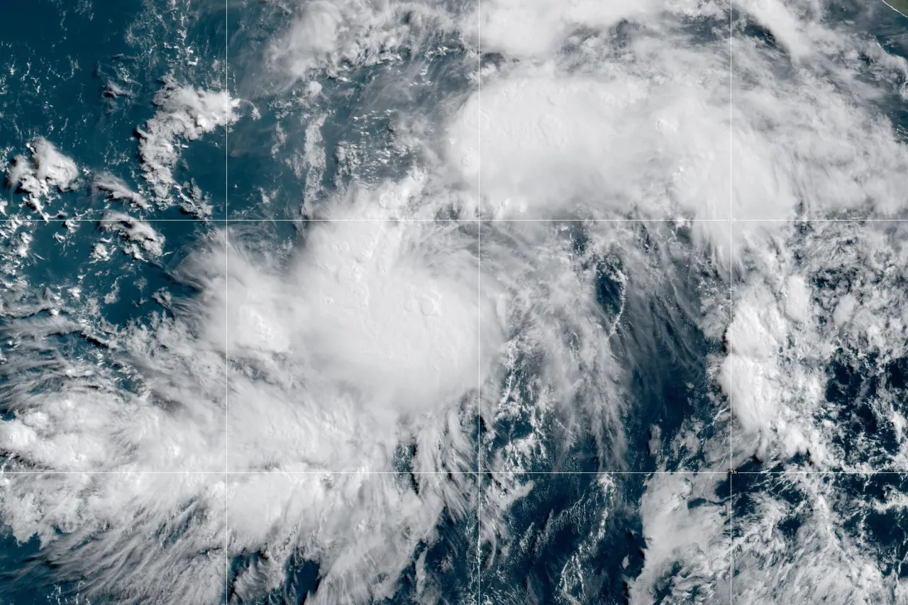
MIAMI (AP) — Tropical Storm Genevieve strengthened into a hurricane Saturday in the Pacific Ocean southwest of Mexico. It was forecast to pick up even more steam and become a major hurricane in the coming days but stay well out to sea on a course roughly parallel to the shore.
Read more Van slams into crowd at Berlin Pride festival, killing 1 and injuring 16, as police identify suspect
Genevieve had maximum sustained winds of 80 mph (130 kph), making it a Category 1 hurricane, according to the National Hurricane Center in Miami. A major hurricane is Category 3 or higher.
Genevieve’s center was located about 500 miles (810 kilometers) south-southwest of Manzanillo, and it was headed west-northwest at 15 mph (24 kph).
No coastal watches or warnings were in effect, but the hurricane center said swells from the storm — likely causing “life-threatening surf and rip current conditions” — were affecting parts of Mexico’s southwestern coast on the weekend and would likely hit southern parts of the Baja California Peninsula on Sunday night or Monday.
Read more WNBA to add an NBA-style replay center next season in a major officiating investment
Farther west in the Pacific, meanwhile, Hurricane Fausto remained a Category 2 storm as it continued on a projected path in the general direction of the Hawaiian Islands.
Forecasters said it was expected to be downgraded to a tropical storm in the coming days, but warned that it could still generate dangerous surf and said “Interests in the Hawaiian Islands should monitor” its progress.
Fausto had maximum sustained winds of 100 mph (155 kph); was located about 1,060 miles (1,705 kilometers) east of Hilo; and was moving west at 13 mph (20 kph).
Read more Shohei Ohtani skips bullpen session and won’t throw off mound until irritated left knee feels 100%