 By admin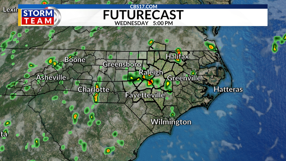
A drier and hotter pattern is on the way. We’re trading soggy, cooler afternoons for a mix of sun and clouds with temperatures back above average.
Read more Fire destroys maintenance building at Fayetteville apartment complex
Wednesday will see the best rain chance on the 10-day forecast, with scattered showers and storms through parts of the day and a high back in the middle 80s. Thursday will begin a long stretch of just hit-or-miss rain activity and highs nearing 90 degrees again.
Once the 90s return on Friday, they’ll stick around for at least the next week. With humidity values staying on the steamy side, it’ll feel like the mid-to-upper 90s most days.
But at least we don’t have any actual air temperatures near 100 degrees in store through at least the middle part of August. Temperatures that hot have struck as late as early October, so you never know what the rest of the summer has in store.
Read more Afghanistan’s child deaths are rising as food distributions face cuts, UN says


FORECAST
WEDNESDAY will be partly cloudy with a few scattered showers and storms. The high will be 86. Winds will be out of the south at 5 to 10 miles per hour.
OVERNIGHT will be mostly clear and dry. The low will be 73. Winds will be out of the south at 5 miles per hour.
THURSDAY will be mostly clear with just an isolated shower or storm. The high will be 88. Winds will be out of the south at 5 to 10 miles per hour.
Read more Russian missile and drone barrage in Ukrainian capital region kills 15