Any lingering showers and storms will end by the late evening, leaving a muggy and dry start to the new work week.
Read more Teams scramble to locate survivors four days after Venezuela earthquakes
Monday will see temperatures in the lower 70s rise to the lower 90s by the afternoon. There’s only a spot shower chance, with most places remaining totally dry.
A big ridge of high pressure starts to build in for the final day of June on Tuesday. The middle 90s are in store before the upper 90s return for the first day of July. That’s just a taste of what’s to come.

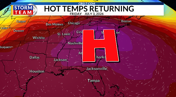
Thursday through Sunday all feature a forecast high of 100 degrees or above. And on Friday and on Saturday, Fourth of July, central North Carolina will see temperatures 3-4 degrees past the century mark, challenging daily and all-time record highs.
That’s actual air temperatures, not heat index.
When you factor in the humidity, Friday and Saturday could feel close to 110 degrees. Please use precautions from the dangerous heat, taking breaks from the sun, and drinking plenty of water.
Read more Hornets send Miles Bridges to Phoenix Suns as offseason shakeup continues, AP source says

Rain chances will be limited over the next 10 days with high pressure overhead. A few scattered storms are possible for the 4th of July holiday, but it won’t be a washout.
Barely any relief comes during the next week, too, with middle to upper 90s, high humidity and daily pop-up showers and storms.

FORECAST
OVERNIGHT will be partly cloudy. The low will be 72. Winds will become calm.
MONDAY will be mostly clear with just a spot afternoon shower. The high will be 91. Winds will be northeast at 5 to 10 mph.
TUESDAY will be mostly clear and dry. The high will be 95. Winds will be east at 5 mph.
Read more Lindsey Vonn has a special understanding of Serena Williams’ comeback as a fellow 40-something