 By admin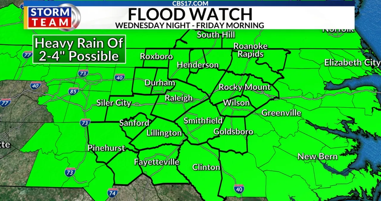
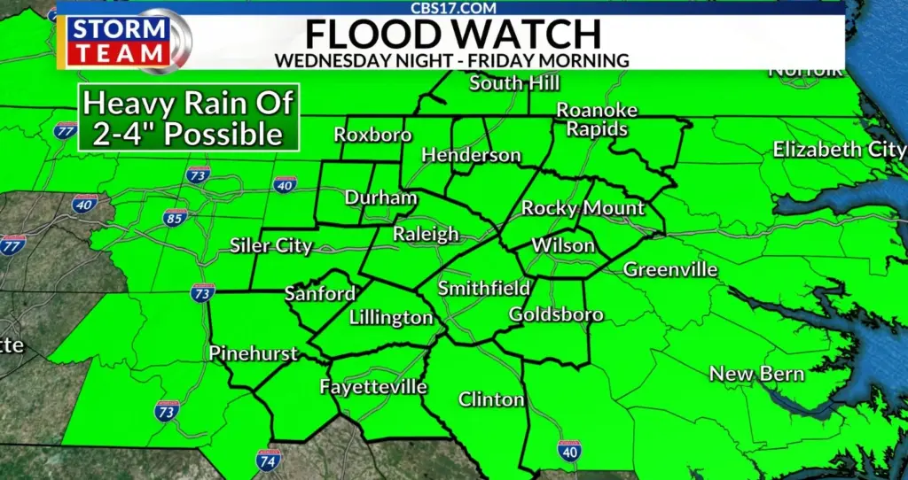
RALEIGH, N.C. (WNCN) — The National Weather Service in Raleigh issued a flood watch for central North Carolina on Wednesday that continues until Thursday night.
Read more Carowinds’ Fury 325 reopens after foundation issue corrected on roller coaster
The flood watch overlaps an Alert Day issued by the CBS 17 Storm Team from Wednesday around 4 p.m. until Thursday morning.
The central North Carolina flood watch was issued for many counties at 11:45 a.m. Wednesday and starting at 6 p.m. for other areas of the Raleigh region.
“Flash flooding caused by excessive rainfall continues to be possible,” the weather service said, noting that the “flash flood risk increases, especially tonight.”
Typically, flash flood warnings can be expected during a flood watch.
The weather service said slow-moving thunderstorms tracking in continuous waves will dump up to 4 inches of rain — with locally higher amounts.
Read more SC sheriff defends the use of Flock cameras as neighbors express privacy concerns
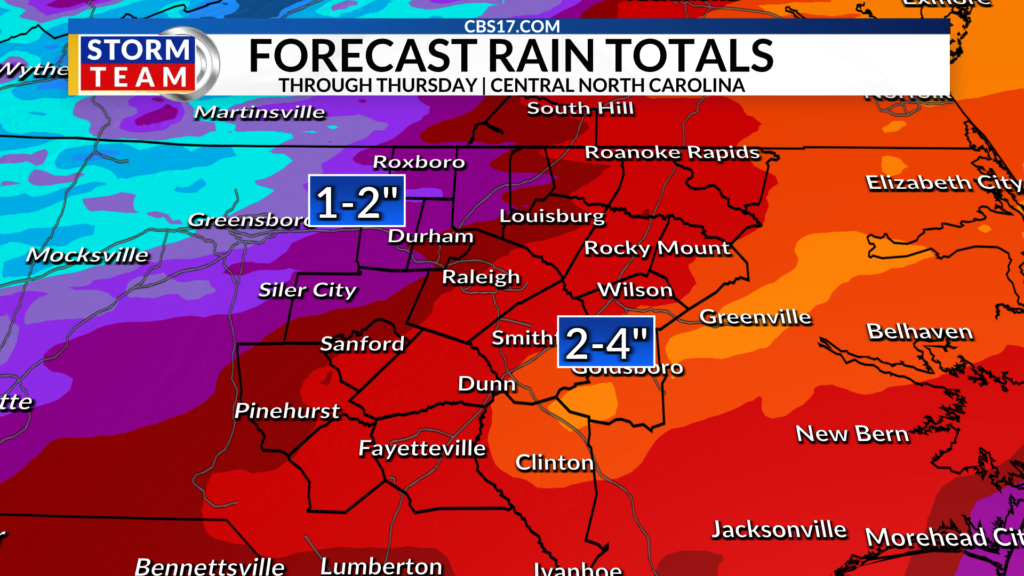
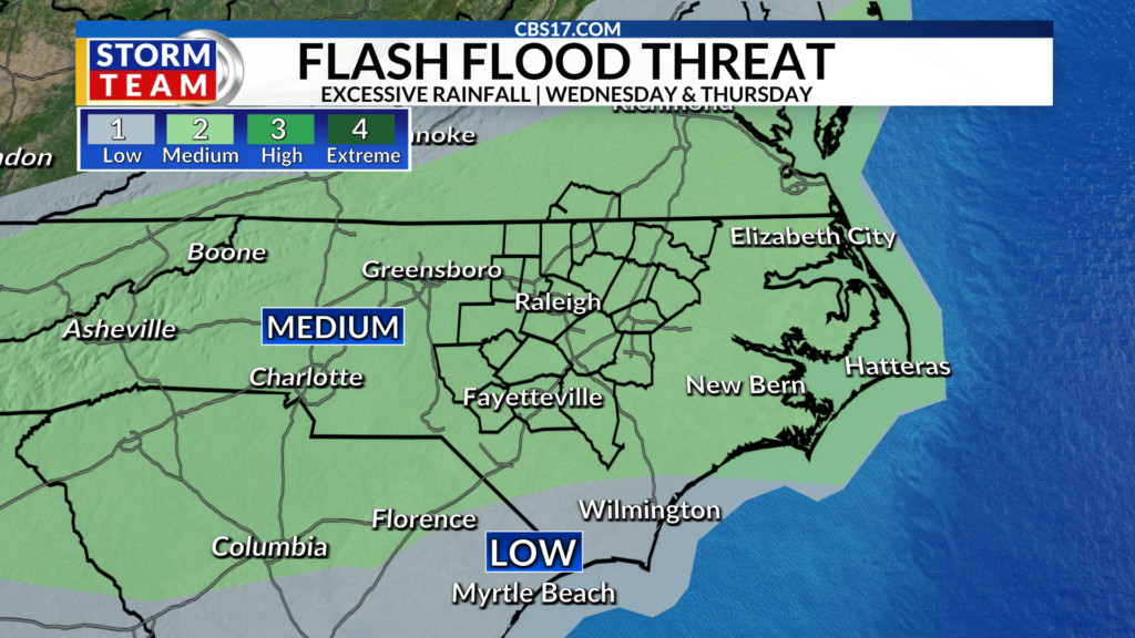
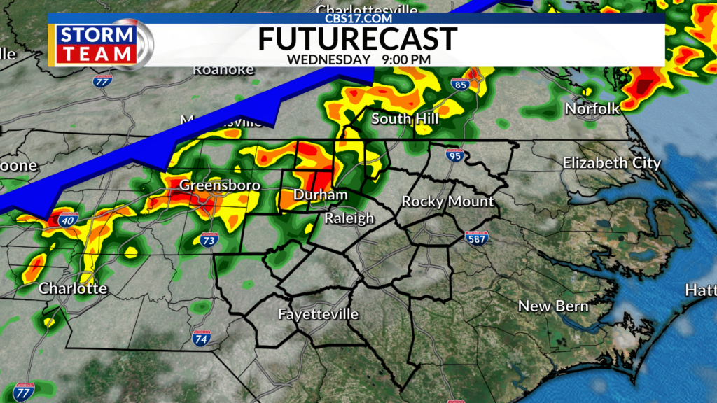
“Excessive runoff may result in flooding of rivers, creeks, streams, and other low-lying and flood-prone locations,” the flood watch said.
The flood watch said some central North Carolina areas could see heavy rains develop later in the day on Wednesday, possibly after 6 p.m.
In addition to the possible flooding, the slow-moving cold front will create a line of storms that have the potential for damaging wind gusts, even a brief spin-up tornado, according to the CBS 17 Storm Team.
Read more NC’s first pediatric behavioral health care facility to open soon in Mecklenburg County