 By admin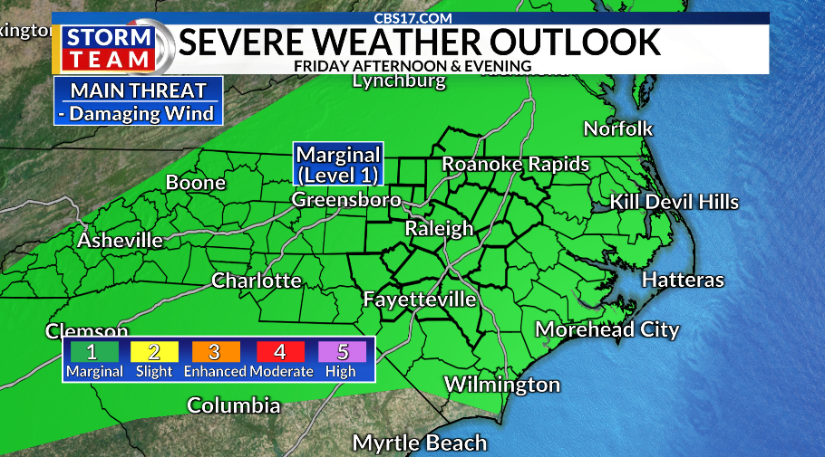
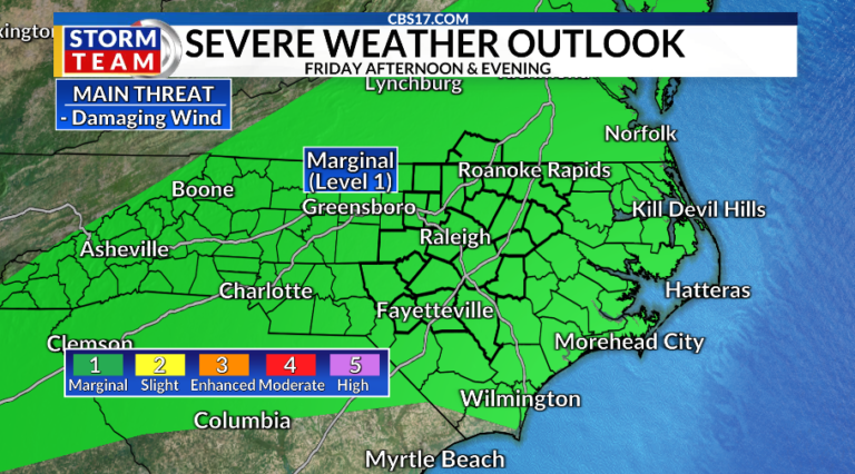
The threat of severe weather is back Friday in central North Carolina ahead of another cold front. Damaging wind gusts and heavy rain are the most likely threat Friday afternoon and evening as we wrap up the work and school week.
Read more Norway’s crown prince becomes King Haakon VIII after his father’s death
There is also a small chance of rain Friday morning, but most of the activity will come later in the day. Highs Friday afternoon will reach up to 85 with some dry time and sun in the middle part of the day.
The cold front won’t pass until later in the evening, but it will help destabilize the atmosphere Friday, along with the heat and humidity that returned late this week.
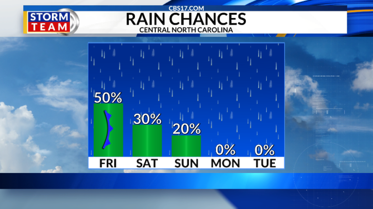
By this weekend, rain chances will go down after the front as temperatures fluctuate from Saturday to Sunday. Behind the cold front, it’ll gradually turn drier and cooler on Saturday with temperatures in the middle 80s, but there will still be a few showers possible.
Sunday will be even drier, but temperature will start to heat up into the upper 80s.
Read more The Latest: Rescuers search for hundreds still missing in area of Nepal-China border disaster
But as we flip the calendar from August to September next week, a return of intense heat arrives.
Highs through the first few days of the new month will reach the lower to middle 90s with heat index values over 100 degrees. Rain chances will go the opposite way, as high pressure ridges in.
FORECAST
FRIDAY will be partly cloudy with scattered showers and storms later in the day as a cold front approaches. The high will be 85. Winds will be light out of the south.
OVERNIGHT will be partly to mostly cloudy. The low will be 71. Winds will become calm.
Read more Braves’ Sale demands ball in 9th to cap 1st complete game since 2019 in 1-0 shutout of Dodgers