 By admin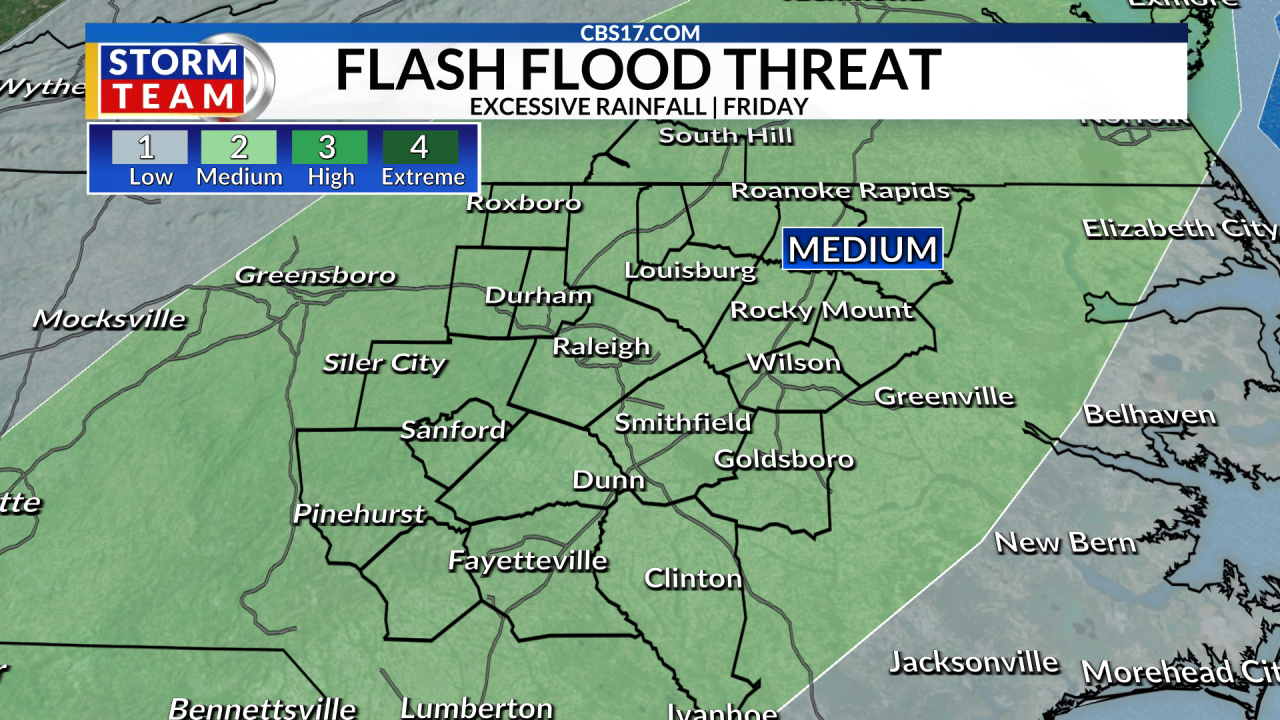
After a prolonged stretch of hot and humid weather, a pattern change is finally on the way that will bring more rain and somewhat cooler temperatures back to central North Carolina.
Read more Central North Carolina drought concerns return with driest August so far
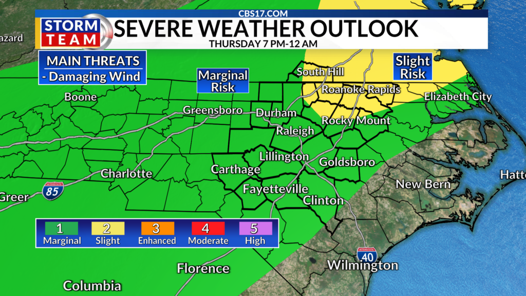
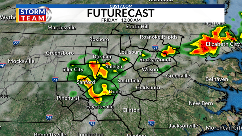
A weak surface front will help create rain and storms later tonight, which could produce heavy rain and gusty, damaging winds. That boundary will also then stall out keeping a chance for rain around also Friday as another cold front moves in.
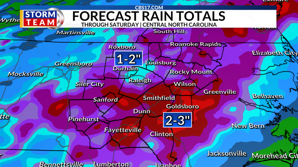
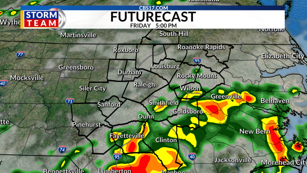
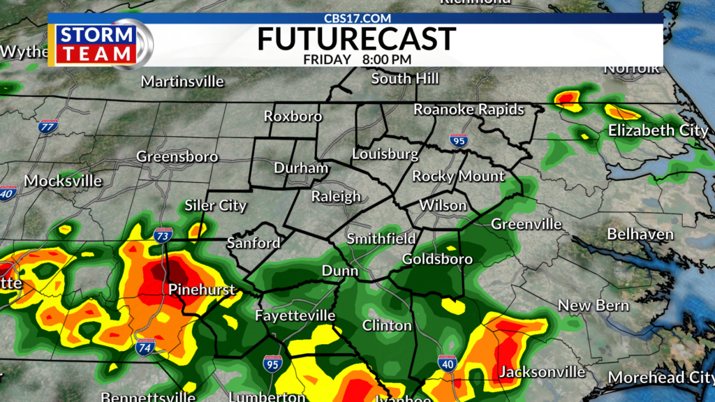
Friday looks to be the wettest day of the forecast period as a stronger cold front moves through the region, however, it will not rain all day. While most locations should see rain, it’s not expected to move in until early evening into the night.
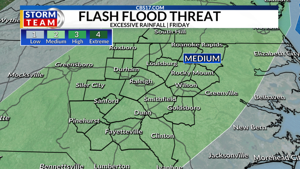
However, since we’re tracking multiple boundaries, depending on where they stall out, storms could sit on top of the same areas, producing locally heavy rainfall. That creates an isolated flash-flooding threat, especially in areas that receive several inches of rain in a short period of time.
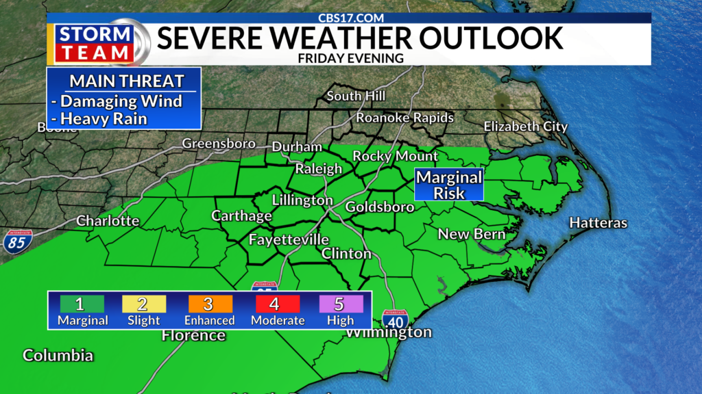
Some thunderstorms could also become strong to severe, with damaging wind gusts the primary concern. A low-end risk for severe storms is in place across parts of central North Carolina Friday.
Once the front clears, cooler air will settle in behind it, but don’t expect a true taste of fall just yet. Cooler temperatures will simply bring us closer to what’s typical for this time of year.
By Friday and into the weekend, highs will settle into the upper 80s, with overnight lows dropping into the upper 60s. It won’t be a dramatic cooldown, but after weeks of summer heat, it should feel noticeably more comfortable.
Read more James Harden agrees to 3-year, $97-million contract to remain with Cavaliers, AP sources say
FORECAST
OVERNIGHT will be mostly clear. The low will be 73. Winds will be south at 5 miles per hour.
FRIDAY will be mostly cloudy with rain and storms late in the day; heavy rain is possible. The high will be 89. Winds will be out of the northeast at 5 to 10 miles per hour.
SATURDAY will be mostly cloudy with rain and storms. The high will be 87. Winds will be out of the southwest at 5 miles per hour.

Follow the CBS 17 Storm Team on socials for the latest weather updates:
Chief Meteorologist Wes Hohenstein: Facebook | X | Instagram
Morning Meteorologist Rachel Duensing: Facebook | X | Instagram
Meteorologist Ross Whitley: Facebook | X | Instagram
Meteorologist Matthew Huddleston: Facebook | X | Instagram
This forecast was prepared by the CBS 17 Storm Team and is based on the latest information available and years of weather forecasting experience in North Carolina. It was not produced by a computer like many forecasts you find on the web, social media and smart phone apps.
Read more College athletes are now eligible for big time payments. Will nonprofits benefit?