 By admin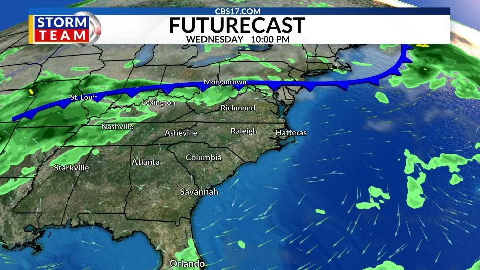
With the severe weather now over, attention turns to a quieter stretch of weather. The remnants of Isaias will move offshore by Monday, leaving behind mostly pleasant conditions and temperatures climbing into the mid to upper 80s over the next few days.
Read more Airstrikes on Yemen’s capital, drone hits vessel in Strait of Hormuz, and other Mideast developments
A stronger cold front later in the week will bring a noticeable change, with cooler air settling into the region by the weekend. High temperatures could fall into the 60s, offering an early taste of fall just in time for the North Carolina State Fair. The temperature swing will make for a classic fall roller coaster, with summerlike warmth early in the week giving way to cooler conditions by Sunday.
The tropics will remain under watch, but the system being monitored is not currently expected to threaten North Carolina. Forecasts will continue to be monitored for any changes.
FORECAST
MONDAY will become partly cloudy. The high will be 80. The wind will be out of the southwest, turning to the northwest at 5 to 10 miles per hour.
Read more Native athlete pride: Shiyazh Pete recognized on Indigenous Peoples Day
OVERNIGHT will be partly cloudy. The morning low will be 60. The wind will be out of the northwest at 5 to 10 miles per hour.
TUESDAY will be mostly clear. The high will be 83. The wind will be out of the north at 5 miles per hour.
Read more Broncos keep Chargers winless with key stop that fuels 4th-quarter rally in 23-17 win