 By admin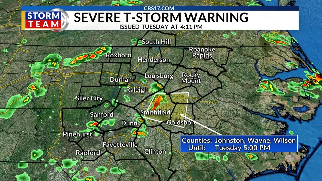
RALEIGH, N.C. (WNCN) — Heavy rain and winds are making their way through central NC Tuesday evening, triggering a few warnings from the National Weather Service in Raleigh.
Read more SC sheriff dies; evidence of stolen drug seizure cash found in locked desk drawer
At 4:11 p.m., the Wayne, Wilson and Johnston County areas were placed under a severe thunderstorm warning through 5 p.m. The main condition of concern, according to the National Weather Service in Raleigh, includes 60 mph wind gusts, which are expected to cause roof damage and could take down trees.
Cities and towns in these areas impacted are Goldsboro, Smithfield, Wilson, Benson, Fremont, Micro, Selma, Four Oaks, Pine Level, and Kenly.
Read more Summer pattern with heat and storms continue for central NC
A new severe thunderstorm warning was issued at 4:43 p.m., excluding Wilson county and extending the impact time for Johnston and Watney counties to 5:45 p.m. It also adds three more counties to the warning area: Sampson, Harnett and Cumberland.
This warning stems from a separate storm system, spotted on radar 14 miles south of Smithfield. For travelers, this includes I-95 between mile markers 93 and 70, as well as I-40 between mile markers 327 and 359.