 By admin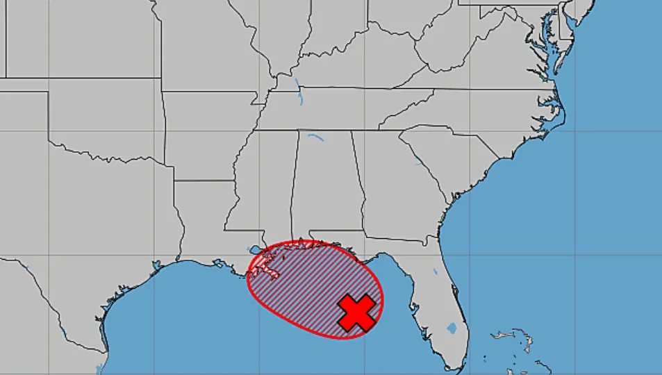
RALEIGH, N.C. (WNCN) — Weather forecasters are monitoring a tropical wave near the Florida Gulf Coast that has rapidly more than doubled in tropical development chances over the next 48 hours.
Read more Rain, storms bring severe risks to central NC
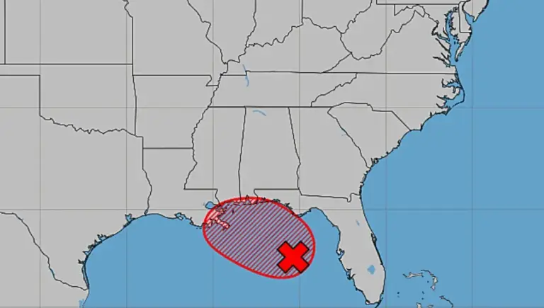
For now, called Invest AL91, the system in the northeastern Gulf of America is becoming better defined, according to the National Hurricane Center.
Saturday night, there was a 30 percent chance of tropical development in two days — but that jumped to 80 percent by 7:30 a.m. Sunday.
“Regardless, gradual development of this system is forecast, and a tropical depression could form over the next couple of days as the system moves slowly northward or
northwestward,” forecasters said.

A U.S. Air Force Reserve plane is scheduled to investigate the system later Sunday, if necessary, the hurricane center said.
The tropical wave also has an 80 percent chance of development over the next seven days — that chance was at 40 percent Saturday night.
Read more Fayetteville non-profit set to build tiny home village for homeless vets
“While this system is not expected to directly impact central North Carolina, it will help funnel deeper tropical moisture into the region,” said CBS 17 Storm Team Meteorologist Ross Whitley.
That added moisture will continue interacting with the stalled boundary on Monday, leading to another round of scattered afternoon and evening thunderstorms, Whitley said.


He added that the strongest storms in central North Carolina will once again be capable of producing damaging wind gusts, torrential rainfall, and frequent lightning.
In the Gulf of America, the system is likely to create gusty winds, frequent lightning, and rough seas.
“Interests along the northern Gulf Coast from Florida, Alabama, Mississippi, to Louisiana should monitor the progress of this system as it is expected to bring heavy rain to portions of that region during the next several days,” the hurricane center said.
Read more What’s Trending on CBS17.com