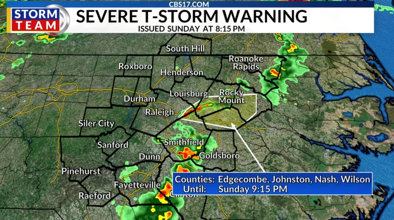
RALEIGH, N.C. (WNCN) — On a day with a forecast of near 100 degrees in central North Carolina, the National Weather Service allowed its second severe thunderstorm warning to end on Sunday evening
Read more Daichi Kamada’s late header gives Japan a 2-2 draw with the Netherlands in World Cup opener for both
The warning, which was allowed to expire at 8:15 p.m., included all of Wilson County and parts of Wake, Edgecombe, Nash, Johnston, and Franklin counties, the weather service said.
Initially, the warning said storms were moving east at 35 mph along a line extending from 6 miles southwest of Nashville to near Zebulon to 8 miles northeast of Clayton.
Read more Firefighter among 7 injured in massive Durham apartment complex fire
Forecasters said 60 mph wind gusts and quarter-size hail were possible.
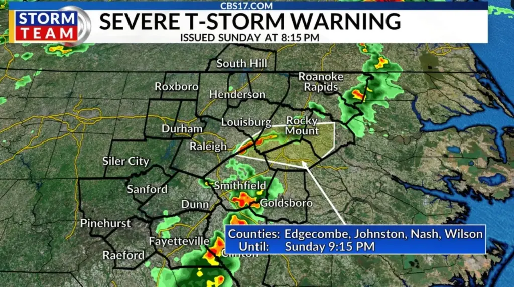
Cities and areas in the warning area included Rocky Mount, Tarboro, Nashville, Wilson, Zebulon, Elm City, Dortches, Bailey, Wendell, and Princeville.
Read more Canes on the cusp: Wake Forest fans reflect on 20 years of passion as team aims for Stanley Cup
Below is a list of the most current weather alerts for central North Carolina: